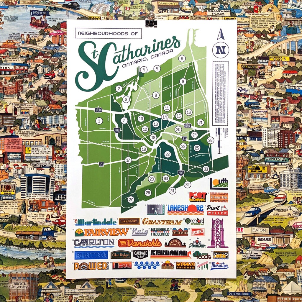
I’ve wanted to throw my hat into the ring with a St. Catharines map for quite some time, and after much consideration, I figured a map of the neighbourhoods of St. Catharines would be the perfect choice. I didn’t realize the rabbit hole I was heading down. After consulting countless maps and historical records, and despite almost no consensus between any of them, I landed on this map of thirty-three neighbourhoods across our fair Garden City. I then designed a logo for each neighbourhood based on its landscape, history, and/or major landmarks. Can you name the inspiration for each?